Strip Mine South To Seep Hike
In Placitas Region
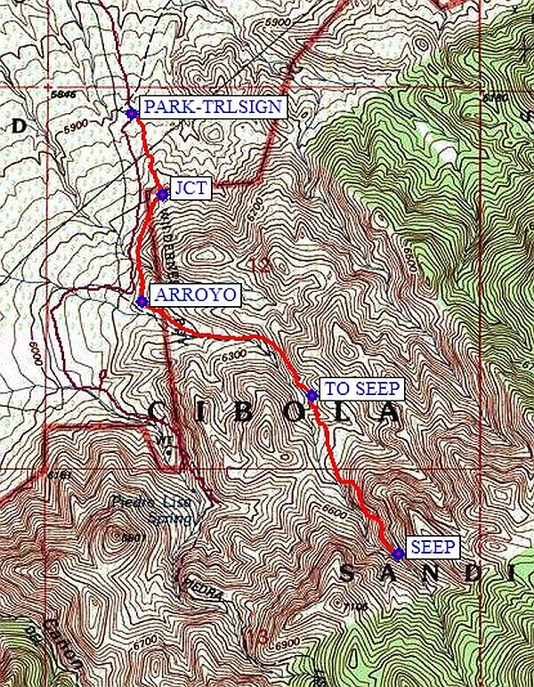
Map File Source: NG Topo
 Hike Key: H10526
Last Updated: 03/20/2023 2:41pm
Last Updated By: Marilyn Fixer
Hike Class: B (Moderate)
Hike Distance: 3.3 mi
Minimum Elevation: 5903 ft
Elevation Change: 789 ft
Total Uphill: 789 ft
Total Downhill: 789 ft
Avg. Grade: 9 %
Route Type: InOut
On Trail: No
Paved or Gravel Roads: Yes
GPS Advised: Yes
Hiker Limit (NF/BLM/NP): 15 (Sandia Wilderness)
Drive Distance Round Trip: 46 mi
Drive Time One-Way: 1:00
Hiking Seasons: Spring, Fall, and Winter
New Mexico Game Unit: 8
Hike Status: Published
Highlights
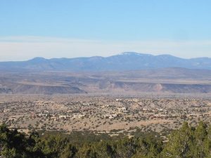
A walk through interesting arroyos up to a seep that in the winter is a beautiful mix of ice and rock.
CautionsThis hike is steeper than most B hikes. Hiking poles will help with stability.
Trailhead Directions
Take I-25 north to Placitas (exit 242). Go east on SR 165 for 3 miles. Just after the mile 3 marker, turn right and drive about 1 mile until you see a gate in the fence to your left. Park here.
Actual Hike
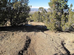
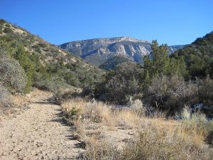
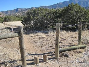
Go through the gate to join the bike trail going south (right). Pass the junction JCT (0.25 mi) with an old road. Turn left (east) into the ARROYO (0.55 mi). Hike up the arroyo to TO SEEP (1.1 mi), and veer to the right up the smaller arroyo. Continue until you come to the SEEP (1.65 mi). Enjoy the view, then return as you came.
Comments
Because of its short length, this hike has been lowered to a B hike. You can cut out about 1 mi and 200 ft total vertical if you go further south on the access road and park at the mouth of the arroyo instead. Then it’s a really short hike, but there are days when that’s what you want!
WaypointsPARK: N35 17.358, W106 28.630
JCT: N35 17.173, W106 28.543
ARROYO: N35 16.928, W106 28.602
TO SEEP: N35 16.714, W106 28.130
SEEP: N35 16.355, W106 27.890
Hike GPS File Name: StripMineSouthToSeepWayTrack_MW.gpx
Hike GPS File: Click link to download hike waytrack file
Text Author: Marilyn Warrant
Map Author: Marilyn Warrant
Waypoints Author: Marilyn Warrant
Track Author: Marilyn Warrant
Maintainer: Marilyn Warrant
Editor: Howard Carr
