Rio en Medio From Ski Area Hike
In Sangre De Cristos Region
Map File Source: NG Topo
 Hike Key: H10494
Last Updated: 01/17/2021 12:00am
Last Updated By: Marilyn Warrant
Hike Class: C (Challenging)
Hike Distance: 3.4 mi
Minimum Elevation: 9222 ft
Elevation Change: 1040 ft
Total Uphill: 1040 ft
Total Downhill: 1040 ft
Avg. Grade: 12 %
Route Type: InOut
On Trail: No
Paved or Gravel Roads: Yes
GPS Advised: Yes
Drive Distance Round Trip: 150 mi
Drive Time One-Way: 1:45
Hiking Seasons: Spring, Summer, Fall, and Winter
New Mexico Game Unit: 44
Hike Status: Inactive
Highlights
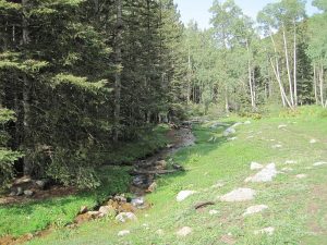
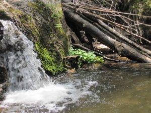
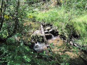
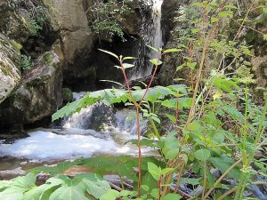
This hike follows the Rio en Medio. Even in a dry year there is gurgling water in this stream, small waterfalls, and a couple of deep pools.
CautionsHigh altitude hike. Uphill after lunch.
Trailhead Directions
Take your favorite route from Albuquerque to the road up towards the Santa Fe Ski Area. One way is from Albuquerque, take I-25 to the St. Francis exit in Santa Fe. Go just past Paseo de Peralta, and turn right onto Alameda. Continue along the Santa Fe River and turn left on Gonzales. At the intersection with the road to the Ski Area, turn right. Continue on to the Winsor Trail parking lot near the Santa Fe Ski Area and PARK. On your return, look for the power lines crossing the highway to find Gonzales Rd.
Actual Hike
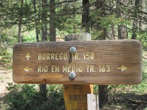
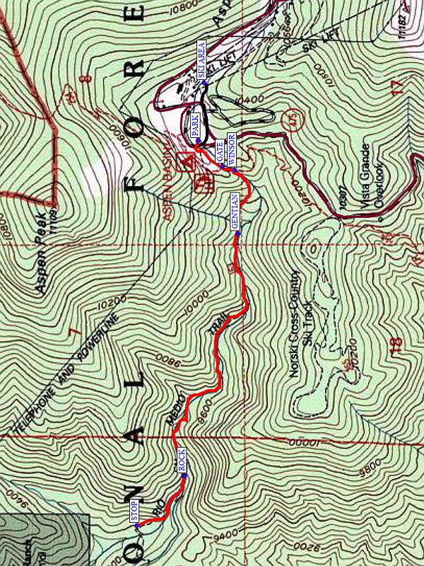
From PARK, go a short distance up to a log bridge over the stream and turn left (west) on the Rio en Medio trail. Pass through the GATE (0.15 mi) in a fence, then reach the intersection with the WINSOR (0.2 mi) trail. The Rio en Medio trail goes along the river, which has a number of small waterfalls and pools. See if you can spot a GENTIAN (0.5 mi) on the right-hand side of the trail. Continue downhill and stop for a few minutes at the beautiful ROCK (1.4 mi) with a deep pool in the stream. It’s not far to the end of the hike at STOP (1.7 mi). Have lunch here where the trail crosses the stream, or if that is too early, go all or part-way back up the hill and find a place to sit down. You can also extend the hike from the parking area up into the SKI AREA and back (the black track), which adds about 0.5 mi to the hike length. Return the way you came.
Comments
This hike follows the Rio en Medio. Even in a dry year there is gurgling water in this stream, small waterfalls, and a couple of deep pools.
We’ve done the hike uphill from the Aspen Ranch trailhead to the Winsor Trail intersection, but don’t try to do it that way. It’s a longer hike with all the uphill before lunch, but the access road is narrow, all dirt, and has lots of potholes. On the way back, there was spontaneous cheers and applause when the van safely turned onto the paved road.
Affected by the 2020 Medio fire, so set Inactive.
WaypointsPARK: N35 47.728, W105 48.263
GATE: N35 47.660, W105 48.352
WINSOR: N35 47.626, W105 48.363
GENTIAN: N35 47.617, W105 48.583
ROCK: N35 47.767, W105 49.419
STOP: N35 47.901, W105 49.591
SKI AREA: N35 47.711, W105 48.062
Map Filename: RioEnMedioFromSkiAreaMap_MW.JPGHike GPS File Name: RioEnMedioFromSkiAreaAllWayTrack.gpx
Hike GPS File: Click link to download hike waytrack file
Text Author: Marilyn Warrant
Map Author: Marilyn Warrant
Waypoints Author: Marilyn Warrant
Track Author: Marilyn Warrant
Maintainer: Marilyn Warrant
Editor: Howard Carr
