Embudo to Three Gun Spring Hike
In Sandia Mountain West Region
Map File Source: DeLorme
 Hike Key: H10162
Last Updated: 03/20/2023 2:28pm
Last Updated By: Marilyn Fixer
Hike Class: D (Difficult)
Hike Distance: 6.8 mi
Minimum Elevation: 6169 ft
Elevation Change: 1814 ft
Total Uphill: 1800 ft
Total Downhill: 1800 ft
Avg. Grade: 12 %
Route Type: InOut
On Trail: Yes
Paved or Gravel Roads: Yes
GPS Advised: No
Hiker Limit (NF/BLM/NP): 15 (Sandia Wilderness)
Drive Distance Round Trip: 22 mi
Drive Time One-Way: 0:15
Hiking Seasons: Spring, Fall, and Winter
New Mexico Game Unit: 8
Hike Status: Published
Highlights
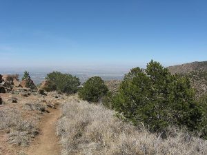
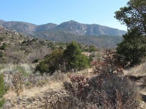
Great views to the west of downtown, the petroglyphs, the volcanoes and Mt. Taylor. In the spring the cactus may be blooming with colors of bright yellow, orange, red, and deep fuchsia.
CautionsSome steep areas with slippery little rocks, so trekking poles are recommended. Gloves will protect your hands as you climb on rocks.
Trailhead Directions
Drive east to end of Indian School then enter trailhead parking area at PARK (0.0 mi).
Actual Hike
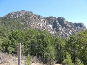
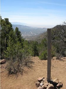
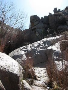
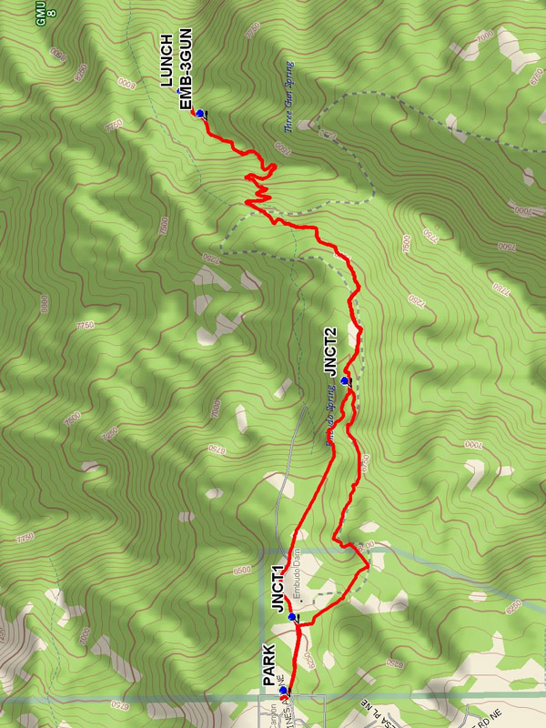
Hike east on Trail 193 past water tank and dam. Your objective is the ridge below the top of the mountain to the east. The trail splits at JNCT1 — don’t take the right-hand trail. You come out of the stream area at JNCT2 (1.3 mi). As you follow the stream the canyon will narrow and then widen again. This constricted trail requires climbing boulders and can be messy if there is a lot of water in the stream but it is worth it because of the beauty of the rocks and waterfall. You’ll then go steadily uphill, through a series of five switchbacks arriving at the crest of the ridge with an overlook down into the valley on the other side and the magnificent cliffs to the east. You can see I-40 and Carnuel below. Keep going to the junction of the Embudo and Three Gun Springs trails (EMB-3GUN (3.1 mi)), and then a little further uphill to have LUNCH (3.2 mi) at a nice shady area with rocks. On the way back, take the other, higher trail 193A which rejoins 193 before the reservoir. This will give you some nice views of the city and avoids going steeply down the possibly wet areas of the narrow canyon below.
Comments
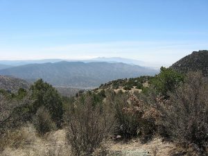
There are some great views to the west framed by the canyon between where the valley opens up and the start of the climb on the switchbacks. So you can see downtown, the petroglyphs, the volcanoes and Mt. Taylor. When you arrive at the top of the overlooking ridge, go to the right for a great overlook. You will see Three Gun Springs canyon descending the other side with traffic on I-40 down there. East of you is a shear cliff on the other side of the canyon that has a sort of waterfall (wet) at times. There are some steep areas with little rocks that are slippery, so bring your hiking sticks if you have them. You also might bring gloves to protect your hands as you climb on rocks and just in case you fall. In the spring the cactus may be blooming with colors of bright yellow, orange, red, and a deep fuchsia.
WaypointsPARK: N 35 05.948, W 106 28.813
JCT1: N 35 05.915, W 106 28.530
JNCT2: N 35 05.744, W 106 27.601
EMB-3GUN: N 35 06.208, W 106 26.555
LUNCH: N 35 06.269, W 106 26.468
Hike GPS File Name: EmbudotoThreeGunSpringsWayTrack_MWMW.gpx
Hike GPS File: Click link to download hike waytrack file
Text Author: Roger Holloway
Map Author: Marilyn Warrant
Waypoints Author: Marilyn Warrant
Track Author: Marilyn Warrant
Maintainer: Howard Carr
Editor: Marilyn Warrant
