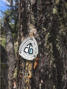
Continental Divide Trail near Echo Canyon and Poshuouinge Ruins Hike
In Ghost Ranch Region
Map File Source: Garmin BaseCamp
Last Updated: 03/12/2021 12:00am
Last Updated By: Marilyn Fixer
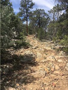
Hike Class: C (Challenging)
Hike Distance: 6.3 mi
Minimum Elevation: 5962 ft
Elevation Change: 1130 ft
Total Uphill: 1450 ft
Total Downhill: 1450 ft
Avg. Grade: 8 %
Route Type: Multiple Hikes
On Trail: Yes
Paved or Gravel Roads: Yes
GPS Advised: No
Drive Distance Round Trip: 252 mi
Drive Time One-Way: 2:00
Hiking Seasons: Spring, Summer, and Fall
New Mexico Game Unit: 5B
Hike Status: Published
Highlights
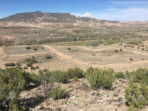
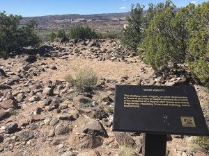
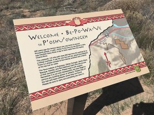
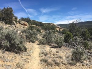
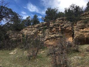
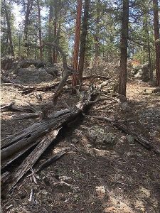
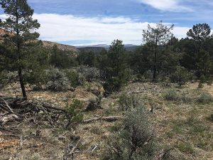
The first hike, the CDT Section 27, is on a moderately steep ascent at the beginning of a trail that levels out. This hike can be as long as desired. The second hike, which is optional, is a view of ancient unexcavated ruins and the Chama Valley accessed by short in and out hike up a steep ascent.
CautionsPoles are encouraged for those who need them for rocky and steep hiking.
Trailhead Directions
See individual hike descriptions by clicking the links below.
Actual Hike
This is a Multiple Hike in the Ghost Ranch area.
See the hike descriptions for the Continental Divide Trail Near Echo Canyon hike and the Poshuouinge Ruins hike.
Text Author: Dawn McIntyre
Map Author: Dawn McIntyre
Waypoints Author: Dawn McIntyre
Track Author: Dawn McIntyre
Maintainer: Cathy Intemann
Editor: Marilyn Warrant