Bosque Open Space West Side South Hike
In Albuquerque Region
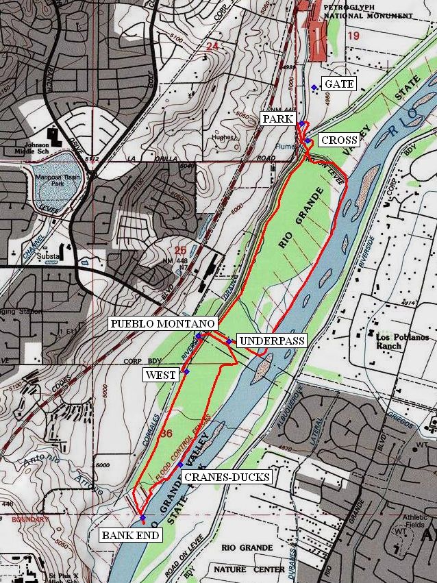
Map File Source: NG Topo
 Hike Key: H10063
Last Updated: 12/15/2020 12:00am
Last Updated By: Marilyn Warrant
Hike Class: B (Moderate)
Hike Distance: 5.3 mi
Minimum Elevation: 4980 ft
Elevation Change: 20 ft
Total Uphill: 45 ft
Total Downhill: 45 ft
Avg. Grade: 1 %
Route Type: Figure8
On Trail: Yes
Paved or Gravel Roads: Yes
GPS Advised: No
Drive Distance Round Trip: 20 mi
Drive Time One-Way: 0:15
Hiking Seasons: Spring, Fall, and Winter
New Mexico Game Unit: 9
Hike Status: Published
Highlights
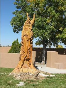
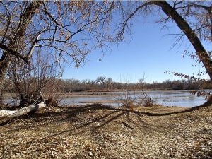
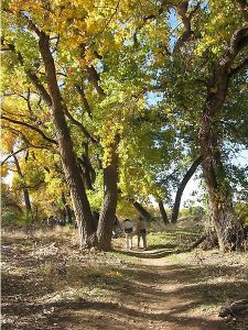
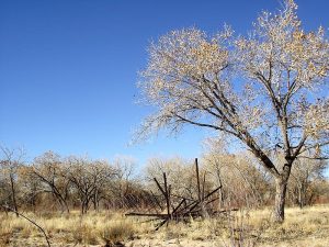
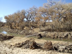
Bosque walk near the Open Space Visitor’s Center among the cottonwoods; tree trunk art at the west end of the Montano Bridge.
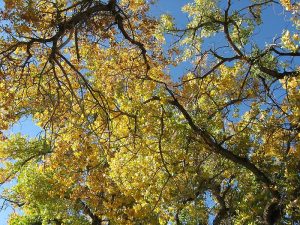
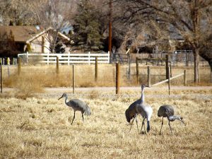
CautionsColorful foliage in fall. Sandhill cranes in winter.
Trailhead Directions
In Albuquerque go west on Montano across the Rio Grande to Coors. Go north on Coors for 0.8 miles to La Orilla Rd and turn east, going to the end of La Orilla. Turn north into the parking lot and go to the north end of the lot and PARK (0.0 mi).
Actual Hike
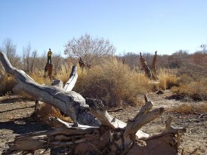
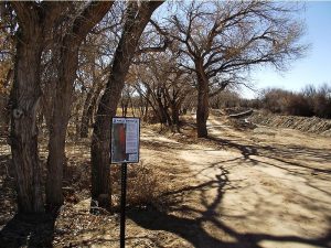
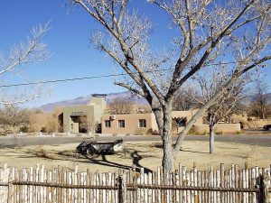
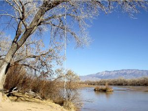
From parking go east to the east side of the drain and turn south, curving around to CROSS (0.1 mi) over to the east side of the main irrigation ditch. Go south for a short distance, passing over the drainage ditch to a path that goes south east at an angle. Do not take the two track which goes along the drainage ditch which leads to the river. At the branch stay straight toward the river edge. The road goes south to the Montano Bridge. Go west on the north side of the bridge to the UNDERPASS (1.25 mi) and pass under the bridge. Then take the path going south east (not directly toward the river) and join the road going south. This road eventually becomes a path that ends at a BANK END (2.4 mi) near the river. Return along this bank which goes north west to the Riverside drain. Follow the drain and pass over to the WEST (3.25 mi) side, then to the PUEBLO MONTANO (3.5 mi) parking where there are many carved trees. Continuing, do not attempt to cross Montano, but use the underpass. Then go east back to the Riverside Drain and continue north. Cross back over to the entry drain and go north along the drain to the GATE (4.3 mi). Pass through the gate and visit the Open Space Visitor center. If the gate is locked go north to the road and around the fence. The center contains several rooms of art and exhibits, as well as viewing areas. In the winter months, Sandhill Cranes may be seen just outside in the feeding field. Then return to parking. You may also want to visit the City of Albuquerque’s Open Space Visitor’s Center at the end of the hike.
Comments
The City of Albuquerque Open Space Visitor’s Center is open Tuesday thru Saturday 9 AM to 5 PM. You can park at the Center parking lot instead of PARK. Go north from Montano on Coors for 1.4 miles to a road sign “Open Space Visitor Center”. Take the road just beyond the sign to the east and park in the Open Space Visitor’s Center parking lot and start the hike at the [GATE], making the hike just a little bit longer.
WaypointsPARK: N35 09.763, W106 40.486
CROSS: N35 09.688, W106 40.452 (0.1 mi)
UNDERPASS: N35 08.828, W106 40.866 (1.25 mi)
CRANES-DUCKS: N35 08.302, W106 41.117 (2.0 mi)
BANK END: N35 08.075, W106 41.316 (2.4 mi)
WEST: N35 08.700, W106 41.086 (3.25 mi)
PUEBLO MONTANO: N35 08.853, W106 41.027 (3.5 mi)
Hike GPS File Name: BosqueOpenSpaceWestSideSouthWayTrack_mod (1).gpx
Hike GPS File: Click link to download hike waytrack file
Text Author: Dick Brown
Map Author: Marilyn Warrant
Waypoints Author: Dick Brown
Track Author: Marilyn Warrant
Maintainer: Dawn McIntyre
Editor: Marilyn Warrant