Sandstone Bluffs End to End Hike
In El Malpais Region
Map File Source: NG Topo
 Hike Key: H10426
Last Updated: 06/30/2021 12:00am
Last Updated By: Marilyn Fixer
Hike Class: C (Challenging)
Hike Distance: 6.3 mi
Minimum Elevation: 6673 ft
Elevation Change: 314 ft
Total Uphill: 536 ft
Total Downhill: 536 ft
Avg. Grade: 5 %
Route Type: CCW Loop
On Trail: No
Paved or Gravel Roads: Yes
GPS Advised: Yes
Drive Distance Round Trip: 160 mi
Drive Time One-Way: 1:15
Hiking Seasons: Spring, Fall, and Winter
New Mexico Game Unit: 13
Hike Status: Published
Access Description: El Malpais North Access
Highlights
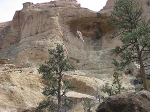
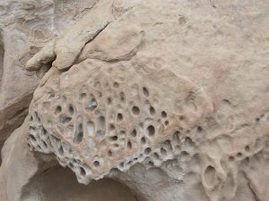
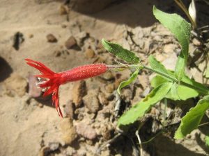
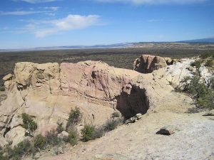
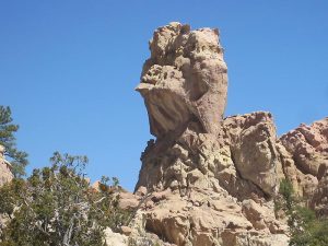
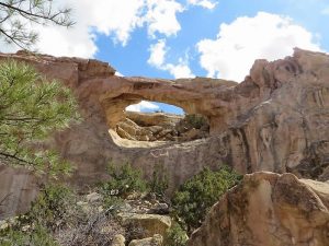
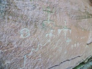
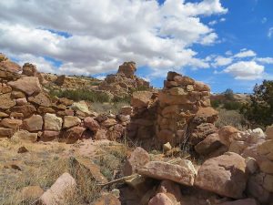
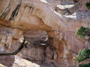
Vistas, arches, sandstone formations, pueblo ruins & petroglyphs, a green microclimate, elk signs, and unusual flowers in season. See how many arches you can find!
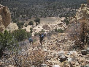
CautionsThe climb back to the van at the end of the hike is very steep (>20% grade). Bring your hiking poles and wear boots with good soles.
Trailhead Directions
From Albuquerque take I-40 west for about 70 miles to Exit 89 at Grants. Go south on SR 117 for 9 miles to a road on the left where there is a sign for the BLM Visitor Center. Stop there for a break. Then continue south for a few hundred feet to a dirt road on the right marked Sandstone Bluffs. Take this road to a parking area on the right at the top of the hill and PARK (0.0 mi).
Actual Hike
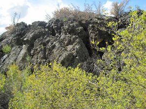
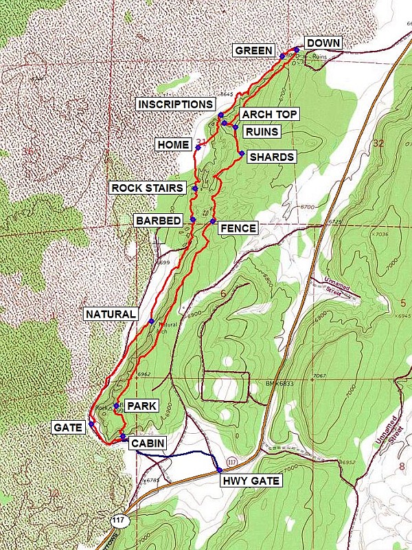
Hike northeast downhill, enjoying the views to the west of the lava flows and Mt. Taylor. Admire the arches and other sandstone formations. At the FENCE (1.3 mi), go through the opening then to your right downhill to the SHARDS (1.9 mi) and RUINS (2.1 mi). Stop at the ARCH TOP (2.2 mi) (you can go out on it part way). Continue along the mesa then go DOWN (2.85 mi) to its base. Make a U-turn, and walk on the edge of the lava flows to a GREEN (2.95 mi) microclimate with signs the animals like it too. Go southwest following various paths to a panel of INSCRIPTIONS (3.6 mi). This is often a good spot for lunch. Go uphill from here then back down to an old HOME (3.8 mi). Go south to some ROCK STAIRS (4.1 mi) to your left and go under a BARBED (4.3 mi) fence. Now walk southwest along the base of the cliffs past another NATURAL (5.0 mi) arch around the southern end. Go through a GATE (5.8 mi) to your right when you come to a fence. Go as far as an old CABIN (6.0 mi), make a 90 deg turn to your left, take the path through the trees, then hike steeply back up to the van about 0.3 mi away.
Comments
If some hikers aren’t up for the steep climb at the end, an option is to follow the OptOut track (shown in blue) from the CABIN for about 0.7 mi back to a HWY GATE. The van can come around to pick them up.
WaypointsPARK: N34 56.693, W107 50.298
FENCE: N34 57.617, W107 49.711 (1.3 mi)
SHARDS: N34 57.959, W107 49.533 (1.9 mi)
RUINS: N34 58.090, W107 49.574 (2.1 mi)
ARCH TOP: N34 58.110, W107 49.641 (2.2 mi)
DOWN: N34 58.477, W107 49.199 (2.85 mi)
GREEN: N34 58.444, W107 49.290 (2.95 mi)
INSCRIPTIONS: N34 58.151, W107 49.664 (3.6 mi)
HOME: N34 57.989, W107 49.802 (3.8 mi)
ROCK STAIRS: N34 57.781, W107 49.818 (4.1 mi)
BARBED: N34 57.626, W107 49.831 (4.3 mi)
NATURAL: N34 57.117, W107 50.084 (5.0 mi)
GATE: N34 56.602, W107 50.452 (5.8 mi)
CABIN: N34 56.540, W107 50.258 (6.0 mi)
Optional:
HWY GATE:: N34 56.369, W107 49.671 (6.7 mi)
Hike GPS File Name: SandstoneBluffsEndToEndWayTrackRev_MW.gpx
Hike GPS File: Click link to download hike waytrack file
Text Author: Marilyn Warrant
Map Author: Marilyn Warrant
Waypoints Author: Dennis Vick
Track Author: Dennis Vick
Maintainer: Marilyn Warrant
Editor: Howard Carr
