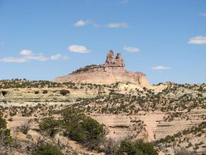
Red Rocks State Park Hike
In Northwest New Mexico Region
Map File Source: DeLorme
 Hike Key: H10421
Last Updated: 03/13/2021 12:00am
Last Updated By: Marilyn Fixer
Hike Class: C (Challenging)
Hike Distance: 7.6 mi
Minimum Elevation: 6700 ft
Elevation Change: 710 ft
Total Uphill: 1345 ft
Total Downhill: 1345 ft
Avg. Grade: 9 %
Route Type: Multiple Hikes
On Trail: No
Paved or Gravel Roads: Yes
GPS Advised: Yes
Drive Distance Round Trip: 280 mi
Drive Time One-Way: 2:15
Hiking Seasons: Spring and Fall
New Mexico Game Unit: 10
Hike Status: Published
Highlights
Multi-hike. See individual hike descriptions.
CautionsMulti-hike. See individual hike descriptions.
Trailhead Directions
See either of the individual hike descriptions for information.
Actual Hike
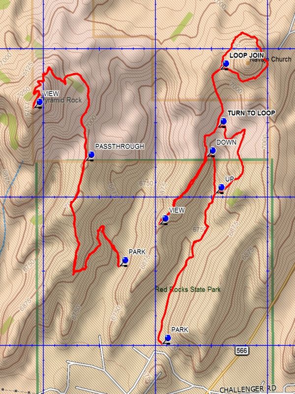
This is a Multiple Hike at Red Rocks State Park. See the individual hike descriptions: the Pyramid Rock hike and the Church Rock hike.
Comments
This is a multiple hike description. The distance and elevation information above is for the sum of both hikes, as is the rating. Due to the travel distance and shortness of each hike, it is recommended that the referenced hikes be done as a unit. Each hike has it’s own unique features.
Map Filename: RedRocksStateParkImage_DB - Copy.jpgText Author: Dick Brown
Map Author: Dick Brown
Waypoints Author:
Track Author:
Maintainer: Dawn McIntyre
Editor: Marilyn Warrant