Arroyo del Tajo Upper Hike
In Socorro Region
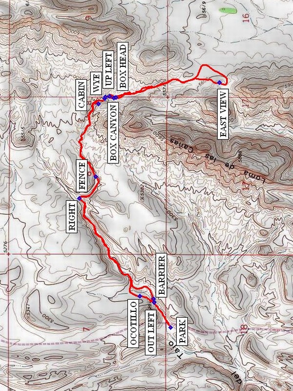
Map File Source: NG Topo
 Hike Key: H10278
Last Updated: 12/05/2023 6:37pm
Last Updated By: Marilyn Fixer
Hike Class: C (Challenging)
Hike Distance: 5.9 mi
Minimum Elevation: 5135 ft
Elevation Change: 490 ft
Total Uphill: 510 ft
Total Downhill: 510 ft
Avg. Grade: 4 %
Route Type: InOut
On Trail: No
Paved or Gravel Roads: No
GPS Advised: Yes
Drive Distance Round Trip: 180 mi
Drive Time One-Way: 1:45
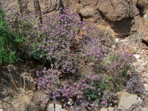
Hiking Seasons: Spring, Fall, and Winter
New Mexico Game Unit: 18
Hike Status: Published
Access Description: Quebradas Access
Highlights
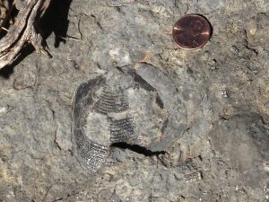
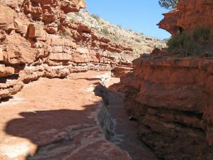
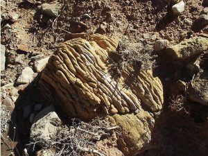
Colorful arroyo, some badlands, ruins, long views at the top.
CautionsThe hike is off trail. Poles may be useful.
Trailhead Directions
From Albuquerque take I-25 south to the Lemitar exit. Go east for 0.5 mile on SR 408 E. Turn right onto SR-408 and go 3 miles to Escondido (Hidden) Lake. Turn left and go 1.6 miles (the road curves to the right after crossing the Rio Grande) to a sign “Quebradas Back Country Scenic Byway.” Turn left and go 9.5 mi. to PARK (0.0 mi). Park on the right after crossing the arroyo where there is a pullout.
Actual Hike
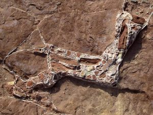
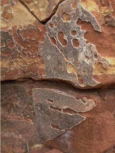
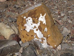
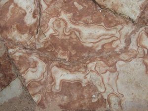
Cross the road and go east into the arroyo. Follow the arroyo untill you approach a 10 foot drop and go OUT LEFT (0.2 mi) finding a faint path to the top of the drop. Proceed uphill through the OCOTILLO FOREST (0.3 mi), and then drop down into the arroyo, crossing the “Cement Floor”. There will be a number of ocotillo on this hike. In the spring they might be in bloom. Continue up the arroyo. There will be colorful low side cliffs, stone floor areas, and small drops (ok, a few are not so small). There will be a fair amount of rubble spots also. The arroyo takes a sharp RIGHT (1.1 mi) and widens out, reaching the FENCE (1.3 mi) which anyone but Gulliver should be able to walk under. There is a very interesting narrow run-up ahead and more colorful rock until the WYE (2.0 mi) is reached. Shortly beyond the wye take the RORSHACH (2.0 mi) test in the mottled stone floor. Stay right in the main water course which goes into the BOX CANYON (2.1 mi). Then return to the UP LEFT (2.1 mi) point and go right where there will be a “trail” taking you to the BOX HEAD (2.1 mi). Yes, this is the easy way up. At the top you can look into the box from above. Beyond this point follow the water course, using a cattle trail as a guide until a two track is found as the top of the arroyo is reached. Then bear upward to the EAST VIEW (2.9 mi) where there will be a panoramic east view to look at. Return the way you came, being sure to visit the CABIN (4.0 mi) on the left after the WYE.
Comments
This hike is rated a C due to challenging terrain.
WaypointsPARK: N34 03.321, W106 46.476
BARRIER: N34 03.416, W106 46.284
OUT LEFT: N34 03.414, W106 46.310
OCOTILLO FOREST: N34 03.491, W106 46.267
RIGHT: N34 03.828, W106 45.618
FENCE: N34 03.737, W106 45.472
RORSHACH: N34 03.683, W106 44.943
WYE: N34 03.686, W106 44.954
BOX CANYON: N34 03.636, W106 44.950
BOX HEAD: N34 03.625, W106 44.948
UP LEFT: N34 03.661, W106 44.940
EAST VIEW: N34 03.052, W106 44.851
CABIN: N34 03.720, W106 44.990
Hike GPS File Name: ArroyodelTajoUpperWayTrack_DBDB.gpx
Hike GPS File: Click link to download hike waytrack file
Text Author: Dick Brown
Map Author: Marilyn Warrant
Waypoints Author: Dick Brown
Track Author: Dick Brown
Maintainer: Randy Simons
Editor: Marilyn Warrant