Corrales Bosque South Hike
In Corrales Region
Map File Source: DeLorme
 Hike Key: H10137
Last Updated: 12/15/2020 12:00am
Last Updated By: Marilyn Warrant
Hike Class: A (Easy)
Hike Distance: 4.8 mi
Minimum Elevation: 4995 ft
Elevation Change: 15 ft
Total Uphill: 15 ft
Total Downhill: 15 ft
Avg. Grade: %
Route Type: CW Loop
On Trail: Yes
Paved or Gravel Roads: Yes
GPS Advised: No
Drive Distance Round Trip: 20 mi
Drive Time One-Way: 0:30
Hiking Seasons: Spring, Fall, and Winter
New Mexico Game Unit: 9
Hike Status: Published
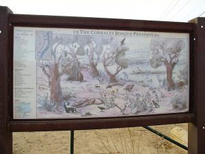
Highlights
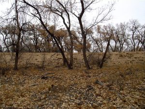
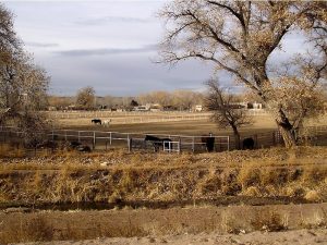
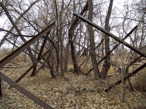
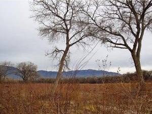
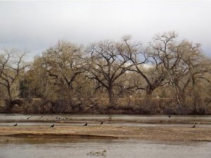
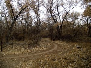
A walk in the bosque among the cottonwoods. In the Fall this is a good foliage hike.
CautionsNone.
Trailhead Directions
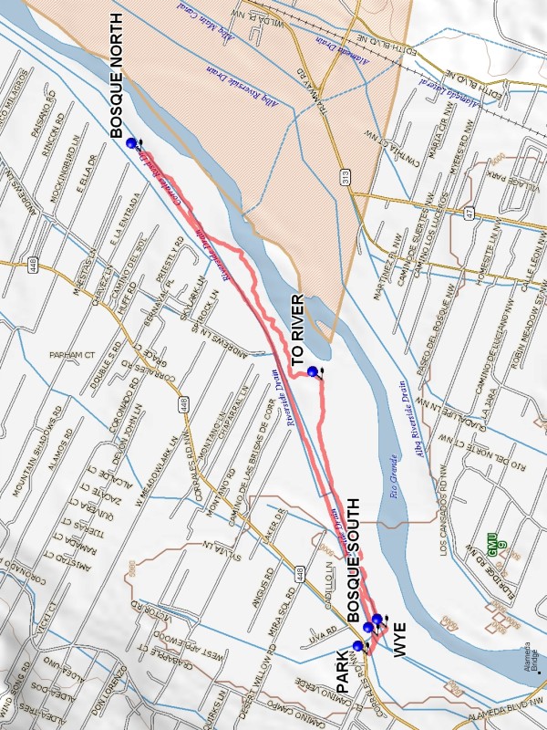
In Albuquerque, drive to the Westside, to the intersection of Coors Road, Alameda Blvd and Corrales Rd. Travel north on Corrales Road 0.4 miles to a turnout on the right side of the road, on north side of the San Mateo Drain. (You may pass Cabezon Road on the left as you approach.) This is PARK. The trailhead begins to the east, at the end of the road.
Actual Hike
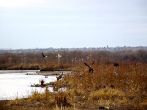
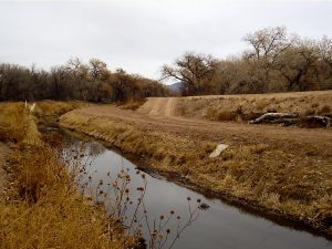
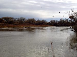
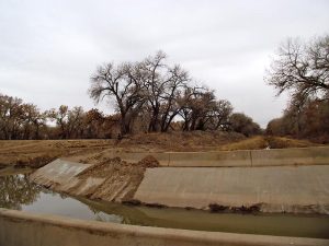
Go east along the north side of the drain to the ditch bank on the east side of the north-south River Side Drain to BOSQUE SOUTH (0.1 mi). Go north (actually northeast) on the ditch bank to BOSQUE NORTH (2.2 mi), the north end of the hike. There will be a bridge crossing the drain. This bridge is the southern extent of the Corrales Bosque North hike. Go east into the Bosque and go south until you reach a side path which goes left TO RIVER (3.5 mi), a possible place for lunch. Then continue south to a WYE (4.6 mi) . Keep right and go up onto the ditch bank at BOSQUE SOUTH (4.7 mi). Then return to parking.
Comments
In the Fall this is a good foliage hike.
WaypointsPARK: N35 12.435, W106 38.462
BOSQUE SOUTH: N35 12.400, W106 38.384
BOSQUE NORTH: N35 13.206, W106 36.372
TO RIVER: N35 12.590, W106 37.321
WYE: N35 12.370, W106 38.349
Hike GPS File Name: CorralesBosqueSouthWayTrack_DBDB.gpx
Hike GPS File: Click link to download hike waytrack file
Text Author: Dick Brown
Map Author: Marilyn Warrant
Waypoints Author: Dick Brown
Track Author: Dick Brown
Maintainer: Dawn McIntyre
Editor: Marilyn Warrant