Pueblo Lateral South to Los Ranchos Hike
In Albuquerque Region
Map File Source: DeLorme
 Hike Key: H10519
Last Updated: 02/25/2025 9:02pm
Last Updated By: Marilyn Fixer
Hike Class: A (Easy)
Hike Distance: 4.1 mi
Minimum Elevation: 4980 ft
Elevation Change: 20 ft
Total Uphill: 20 ft
Total Downhill: 20 ft
Avg. Grade: %
Route Type: InOut
On Trail: Yes
Paved or Gravel Roads: Yes
GPS Advised: No
Drive Distance Round Trip: 26 mi
Drive Time One-Way: 0:30
Hiking Seasons:
New Mexico Game Unit: 9
Hike Status: Published
Highlights
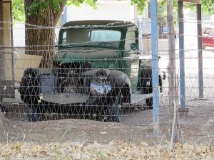
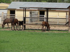
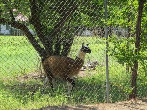
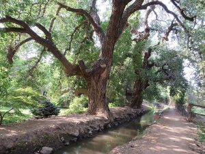
This is a great year-round hike in the trees most of the way. Sights to see include interesting contents of back yards and local wildlife.
CautionsNone.
Trailhead DirectionsI-25 to Alameda exit, go west to Rio Grande Blvd. then south and park at trailhead parking area 50 yards past Paseo del Norte on the west side.
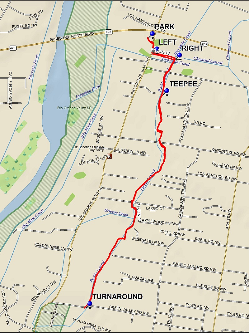
Actual HikeFrom PARK (0.0), hike east a short distance then go south on Rio Grande Blvd. Turn LEFT (0.1 mi) to walk east along the Albuquerque Main Canal, then turn RIGHT (0.25 mi) to go south along the canal, which becomes the Pueblo Lateral. At TEEPEE (0.5 mi), note the teepee and totem pole in a back yard to the east. Continue hiking south to TURNAROUND (2.05 mi). At this point you can continue hiking if desired by going to the other side of the ditch. Return the way you came back to PARK or continue north from waypoint RIGHT to extend the hike.
CommentsThis is a great year-round hike in the trees most of the way. Sights to see include peacocks, llamas, ducks, large cottonwood trees, old vehicles, a large private pond with a falls, and a boat house. Depending on the time of year you may also see lizards, hawks, or herons.
WaypointsPARK: N35 10.934, W106 38.646
LEFT: N35 10.859, W106 38.619
RIGHT: N35 10.829, W106 38.481
TEEPEE: N35 10.653, W106 38.558
TURNAROUND: N35 09.599, W106 39.025
Hike GPS File Name: PuebloLateralSouthtoLosRanchosWayTrack_FE.gpx
Hike GPS File: Click link to download hike waytrack file
Text Author: Frank Ernst
Map Author: Marilyn Warrant
Waypoints Author: Frank Ernst
Track Author: Frank Ernst
Maintainer: Not Assigned
Editor: Howard Carr