Aldridge Petroglyphs Alternate Hike
In El Malpais Region
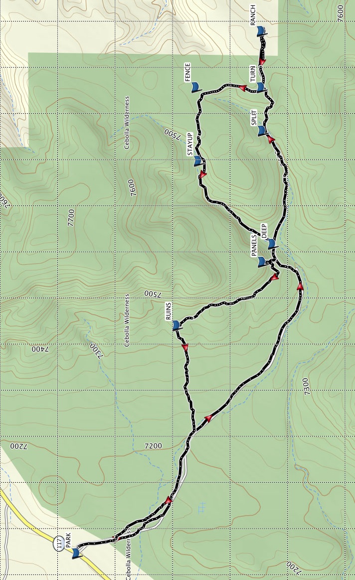
Map File Source: Garmin BaseCamp
 Hike Key: H10623
Last Updated: 02/10/2025 8:35pm
Last Updated By: Marilyn Warrant
Hike Class: C (Challenging)
Hike Distance: 6.1 mi
Minimum Elevation: 7139 ft
Elevation Change: 400 ft
Total Uphill: 728 ft
Total Downhill: 714 ft
Avg. Grade: 7 %
Route Type: Figure8
On Trail: No
Paved or Gravel Roads: Yes
GPS Advised: Yes
Drive Distance Round Trip: 200 mi
Drive Time One-Way: 1:45
Hiking Seasons: Spring, Fall, and Winter
New Mexico Game Unit: 13
Hike Status: Published
Highlights
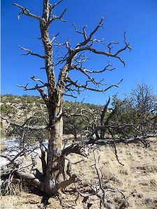
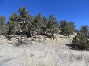
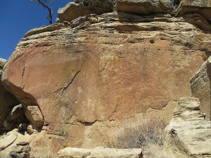
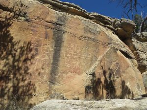
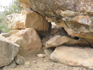
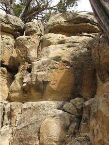
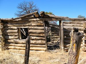
Outstanding petroglyph panels, ranch ruin, pueblo ruin. Follow an old two track road and elk trails along arroyos.
CautionsBring hiking poles for stability in the steep sections.
Trailhead DirectionsFrom Albuquerque take I-40 west for about 70 miles to Exit 89 a few miles before Grants. Go south on SR 117 for approximately 30 miles to a wide spot in the road approximately 1-1.5 miles past Lava Falls turnoff. The shoulders on both sides of the road are wide and used for large road work vehicles. The trail starts at the north end of a break in the fence on the left (east) side of the road. PARK (0.0 mi) on one of the shoulders nearby.
El Malpais BLM Ranger station, located on SR 117 9 miles from I-40, has interesting displays, but is currently closed until further notice. However, the El Malpais National Monument Visitor Center is still open in Grants at exit 85 off I40.
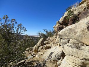
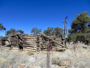
Actual HikeHike east across a meadow and along an old two track road which is quite overgrown and rarely visible. Continue along a tree line, elk trails, through some brush, to the petroglyph PANELS (1.7 mi). There are two sets of panels, about 100 yards apart. After viewing, climb downhill and continue east along elk trails and cross a DEEP (1.8 mi) arroyo about 0.2 mi past the panels. Continue east. There are times when you must walk in what looks like a stream bed or cross to the opposite side. Use your judgment about the best path. It will change seasonally. Near SPLIT (2.3 mi) waypoint, stay right up the hill rather than into the canyon on the left. Continue east to RANCH (2.8 mi). After browsing, return on the same track until you reach TURN (3.0 mi), then go north until you are close to the FENCE (3.3 mi) waypoint but stay on the west side– do not cross the fence. Head west and follow the arroyo but STAYUP (3.6 mi) rather than follow in the bottom of the arroyo until you cross back through the DEEP (4.1 mi) section of the arroyo. You will bypass the PANELS (4.3 mi) and continue to the pueblo RUINS (4.8 mi) which are in an open meadow. You will find traces of rock walls and a kiva impression. Don’t remove or disturb artifacts. From here, the track meanders down a rocky ridge, through trees, for about 0.5 mile. Pick your way carefully, use hiking poles and caution here. After the rocky area, you will join back up to the original track at about 5.3 mi. and continue back to PARK (6.1 mi).
CommentsThe trail for this entire hike meanders along arroyos and game trails. Sometimes it works to follow the game trails but watch your GPS carefully because game trails go in all directions. Some arroyos are steep, narrow and rocky. You have to use your judgment whether to hike down an arroyo, or pass on a ridge on either side. Sometimes the options have about the same difficulty and will change seasonally.
There is some shade but not recommended on hot days.
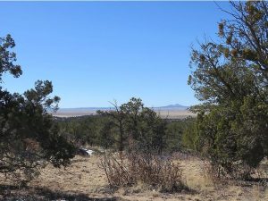
The hike is located in the El Malpais NCA, Cebolla Canyon.
WaypointsPARK: N34 43.531, W107 58.509
PANELS: N34 42.884, W107 57.245
DEEP: N34 42.849, W107 57.167
SPLIT: N34 42.885, W107 56.677
RANCH: N34 42.888, W107 56.245
TURN: N34 42.888, W107 56.489
FENCE: N34 43.097, W107 56.510
STAYUP: N34 43.107, W107 56.807
RUINS: N34 43.182, W107 57.521
Hike GPS File Name: AldridgePetroAlt_DMDM.gpx
Hike GPS File: Click link to download hike waytrack file
Text Author: Dawn McIntyre
Map Author: Dawn McIntyre
Waypoints Author: Dawn McIntyre
Track Author: Dawn McIntyre
Maintainer: Dawn McIntyre
Editor: Marilyn Warrant