North Mystery Trail Hike
In Sandia Mountain East Region
Map File Source: DeLorme
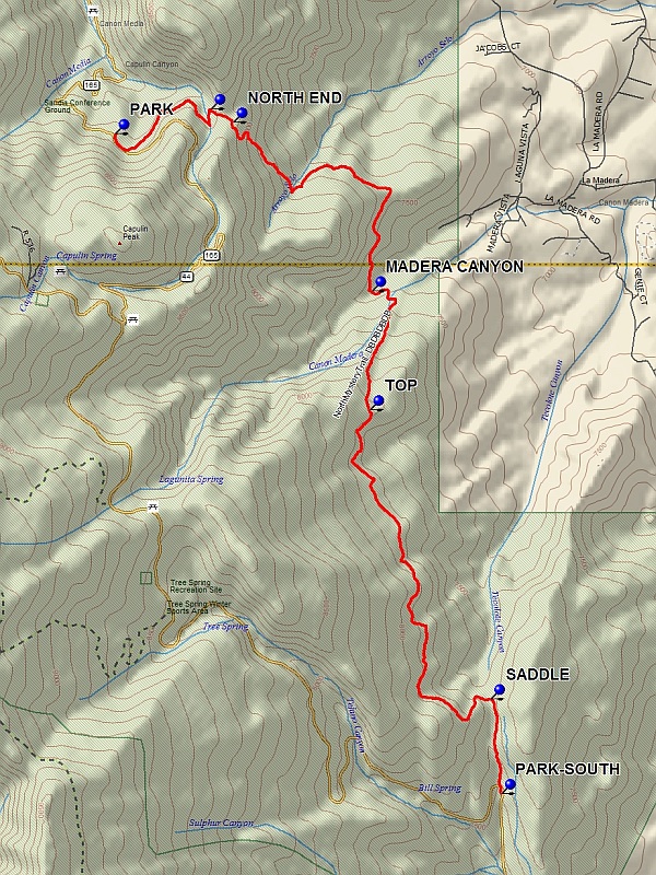 Hike Key: H10251
Last Updated: 12/15/2020 12:00am
Last Updated By: Marilyn Warrant
Hike Class: C (Challenging)
Hike Distance: 5.8 mi
Minimum Elevation: 7357 ft
Elevation Change: 752 ft
Total Uphill: 809 ft
Total Downhill: 1334 ft
Avg. Grade: 9 %
Route Type: Oneway
On Trail: Yes
Paved or Gravel Roads: Yes
GPS Advised: Yes
Drive Distance Round Trip: 60 mi
Drive Time One-Way: 1:00
Hiking Seasons:
New Mexico Game Unit: 8
Hike Status: Published
Highlights
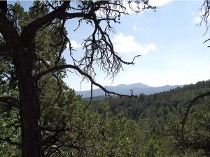
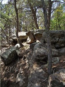
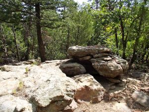
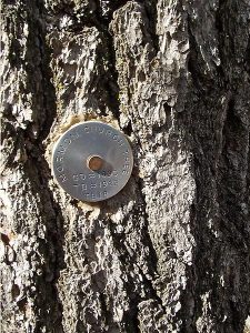
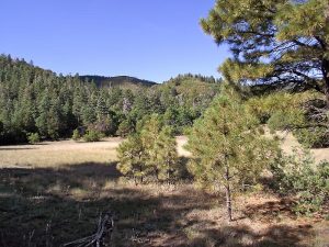
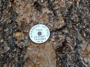
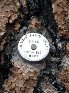
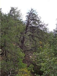
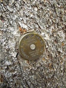
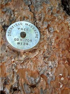
Several Medallion Trees, beautiful wooded hike.
CautionsMostly downhill, but still contains 800 feet of uphill.
Trailhead DirectionsFrom Albuquerque take I-40 east to the Tijeras exit. Go north on SR 14 for 6 miles to SR 536, the Crest Highway. Leave a shuttle vehicle at the 2.5 mile point on the Crest Highway (PARK-SOUTH (5.9 mi)) at the hairpin turn where there is a large area to park on the left. Continue for 5 miles to The Balsam Glades area where SR 165W leaves to the right. Take this road, which turns to dirt, for 2.2 miles to PARK (0.0 mi) on the right side of the road at the concrete barriers at a bend in the road.
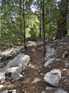
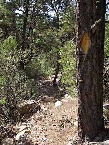
Actual HikeFrom parking take the Palomas Cliffs trail which starts at the uphill end of parking and goes east for about 0.7 miles to the start of the cliffs area. LEAVE (0.7 mi) this trail and go southeast along the left edge of the meadow for about 400 feet to the NORTH END (0.9 mi) of the North Mystery Trail. At this point the trail begins a sometimes steep 1.8 mile descent into the bottom of MADERA CANYON (2.5 mi).The trail then climbs back out of the canyon, a vertical rise of 600 feet in about 0.7 miles to a flat at the TOP (3.3 mi), a good place for lunch. Once out of the canyon there is a 2.0 mile mostly moderate descent towards the SADDLE (5.4 mi) in the bottom of Barro Canyon. Then it is 0.5 miles to SR 536 and parking.
CommentsNote that this “downhill” hike involves 800 feet of climbing vertical. This hike is also described in Mike Coltrin’s Sandia Mountain Hiking Guide.
This is a shuttle hike. Road conditions at the north end are marginal when wet, with deep, muddy ruts.
WaypointsPARK: N 35 13.584, W 106 24.561
LEAVE: N 35 13.686, W 106 24.080
NORTH END: N 35 13.631, W 106 23.969
MADERA CANYON: N 35 12.939, W 106 23.271
TOP: N 35 12.452, W 106 23.282
SADDLE: N 35 11.267, W 106 22.674
PARK-SOUTH: N 35 10.880, W 106 22.620
Hike GPS File Name: NorthMysteryTrailWayTrack_DBDB.gpx
Hike GPS File: Click link to download hike waytrack file
Text Author: Dick Brown
Map Author: Marilyn Warrant
Waypoints Author: Dick Brown
Track Author: Dick Brown
Maintainer: Dawn McIntyre
Editor: Marilyn Warrant