Corrales To Rivers Edge Hike
In Corrales Region
Map File Source: DeLorme
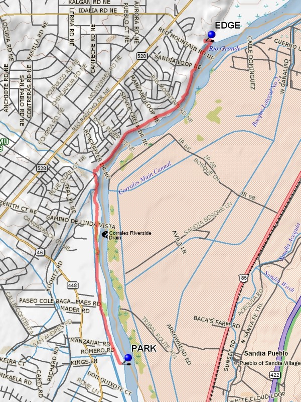 Hike Key: H10113
Last Updated: 12/15/2020 12:00am
Last Updated By: Marilyn Warrant
Hike Class: C (Challenging)
Hike Distance: 8.3 mi
Minimum Elevation: 5031 ft
Elevation Change: 47 ft
Total Uphill: 446 ft
Total Downhill: 446 ft
Avg. Grade: 2 %
Route Type: InOut
On Trail: Yes
Paved or Gravel Roads: Yes
GPS Advised: No
Drive Distance Round Trip: 20 mi
Drive Time One-Way: 0:30
Hiking Seasons: Spring, Fall, and Winter
New Mexico Game Unit: 9
Hike Status: Published
Highlights
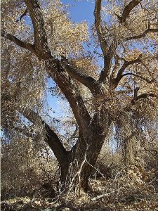
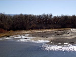
Hike along the Rio Grande through the cottonwoods. Look for porcupines in the winter.
CautionsNone.
Trailhead Directions
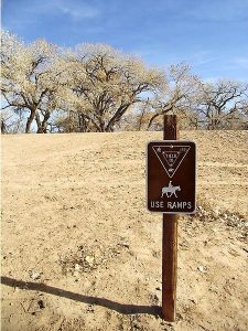
In Albuquerque take Alameda Boulevard west across the Rio Grande, note odometer at Jct of Alameda with Coors/Corrales Road. Turn right and follow Corrales Road north for approx. 4.9 miles. Turn right at Romero Road which is just after crossing a ditch, immediately after a guardrail and a horse crossing sign. Go about 1/4 mile to PARK at the East end of the dirt road, which can be very muddy and deeply rutted with recent rain.
Actual Hike
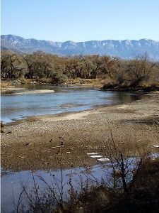
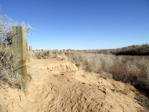
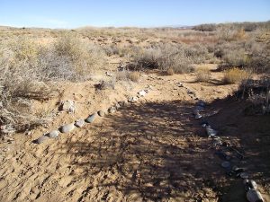
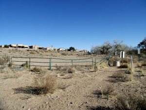
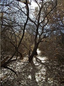
Hike east across the ditch bank until you come to the river, turn north, and follow the trail through the bosque near the river. After approximately 2 miles, you will cross a parking lot and the trail continues up a bluff, then dips down and through another parking lot. At this point, you enter Rio Rancho Bosque and the trail follows a bluff along the river with expensive homes on the west side of the trail. Continue hiking north for approximately 1.5 miles. The trail descends into the nicely landscaped Rio Rancho Bosque park area with interpretive signs, and a parking lot which is at the north end of Rivers EDGE (4.1 mi). This is the turn around point, return by the same route.
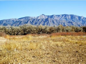
The turn around point is a good place to have lunch if it’s windy, but for a grand view of the Sandia Mountains, return about 1 mile south and have lunch on the bluff overlooking the river.
Comments
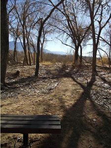
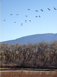
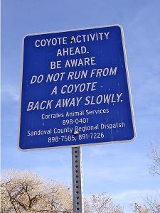
You can weave in and out of the bosque along the river or hike along the ditch bank to view cranes and geese feeding in the fields during winter months. Porcupines are frequently seen sleeping in the trees on cold mornings and coyote in the bosque along the river.
You can also hike this route by parking at the northern end of Rio Rancho’s Rivers Edge subdivision and do the hike in reverse. Trail follows the edge of the bluff that overlooks the river and the Sandias, then through cottonwoods along the river or the ditch banks. Follow the trail about 4 miles and return.
WaypointsPARK: N35 15.290, W106 35.653
EDGE: N35 18.190, W106 34.733
Hike GPS File Name: CorralesToRiversEdgeWayTrack_JBMW.gpx
Hike GPS File: Click link to download hike waytrack file
Text Author: Dawn McIntyre
Map Author: Marilyn Warrant
Waypoints Author: Marilyn Warrant
Track Author: John Boyd
Maintainer: Dawn McIntyre
Editor: Marilyn Warrant
