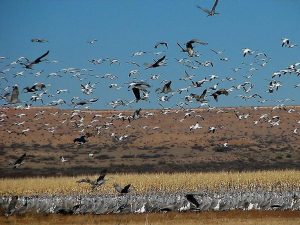
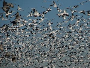
Bernardo Waterfowl Area Hike
In Socorro Region
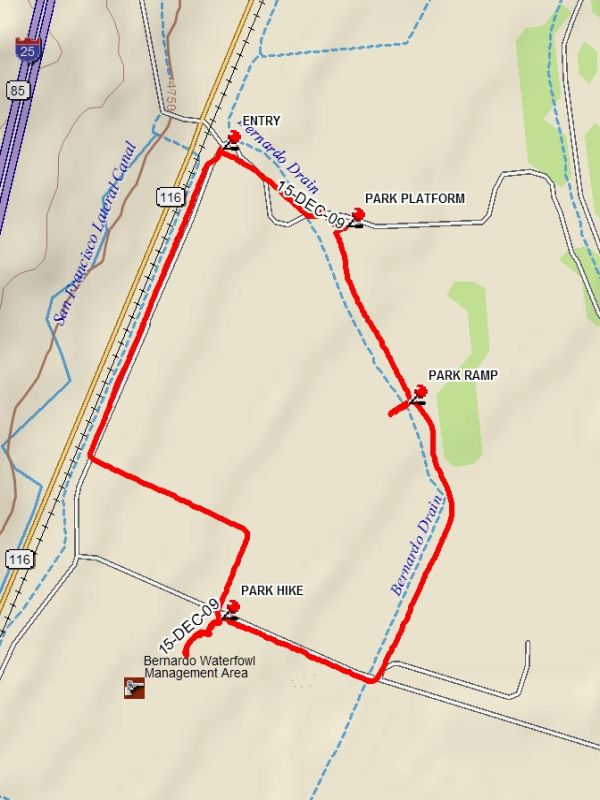
Map File Source: DeLorme
 Hike Key: H10582
Last Updated: 06/29/2021 12:00am
Last Updated By: Marilyn Fixer
Hike Class: A (Easy)
Hike Distance: 2.8 mi
Minimum Elevation: 4760 ft
Elevation Change: 10 ft
Total Uphill: 10 ft
Total Downhill: 10 ft
Avg. Grade: %
Route Type: InOut
On Trail: Yes
Paved or Gravel Roads: Yes
GPS Advised: No
Drive Distance Round Trip: mi
Drive Time One-Way:
Hiking Seasons: Spring, Fall, and Winter
New Mexico Game Unit: 14
Hike Status: Place Holder
Cautions
None.
Trailhead Directions
From Albuquerque take I-25 south to exit 175, Bernardo. For part one of the hike, follow signs to Ladd S. Gordon Waterfowl Management Area. Go under I-25 and turn left on NM 116. After 1.7 miles turn right into the Bernardo area, cross railroad tracks and drive the loop, or park at ENTRY and hike the loop.
Waypoints
ENTRY: N34 26.373, W106 49.313
PARK: N34 25.628, W106 49.314
PARK PLATFORM: N34 26.250, W106 49.062
PARK RAMP: N34 25.969, W106 48.936
Hike GPS File Name: BernardoWaterfowlAreaWayTrack_DBDB.gpx
Hike GPS File: Click link to download hike waytrack file
Text Author: Dick Brown
Map Author: Dick Brown
Waypoints Author: Dick Brown
Track Author: Dick Brown
Maintainer: Dawn McIntyre
Editor: Marilyn Warrant