Spruce Spring Hike
In Manzano Mountains East Region
Map File Source: NG Topo
 Hike Key: H10191
Last Updated: 12/15/2020 12:00am
Last Updated By: Marilyn Warrant
Hike Class: C (Challenging)
Hike Distance: 7.5 mi
Minimum Elevation: 7923 ft
Elevation Change: 1263 ft
Total Uphill: 1482 ft
Total Downhill: 1482 ft
Avg. Grade: 12 %
Route Type: InOut
On Trail: Yes
Paved or Gravel Roads: Yes
GPS Advised: No
Drive Distance Round Trip: 120 mi
Drive Time One-Way: 1:30
Hiking Seasons: Spring, Summer, and Fall
New Mexico Game Unit: 14
Hike Status: Published
Highlights
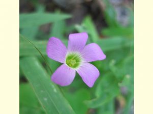
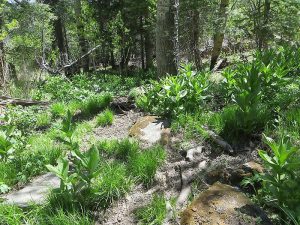
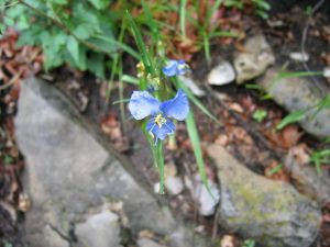
Views from Manzano Crest, wildflowers, colorful leaves in season.
CautionsHiking poles recommended.
Trailhead Directions
From Albuquerque, take I-40 east to exit 175 for south NM 337. Take 337 south. From the stoplight, head 28.7 miles south on NM 337 through Chilili until the road ends at a T intersection with NM 55. Turn right (west) and continue another 12 miles passing through Tajique and Torreon to the town of Manzano. Watch for a sign which says: Manzano State Park; Red Canyon Campground; NM 131. After going 2.4 miles on NM 131, you are at the entrance to Manzano Mountains state park. Turn right; you are now on a one-lane paved road. 0.5 mi down the road you get to the forest boundary and the road turns to gravel. A few small side roads branch off, but remain on the main road for 1.8 miles, where you will see a sign for the Red Canyon campground. PARK (0.0 mi) at the horse camp at the Red Canyon campground. Spruce Spring Tr. 189 leaves from here.
Actual Hike
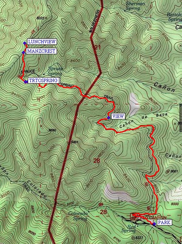
Hike Spruce Spring Tr. 189 up a big switchback to the west up to a VIEW (2.2 mi) of the east side of the mountains, then to the intersection with Manzano Crest Trail 170 at MANZCREST (3.7 mi). Have lunch in the shade with a great view of Albuquerque at LUNCHVIEW (3.8 mi) and return. TRTOSPRING (3.3 mi) is a short side trail that goes down to the spring for which this hike was named.
Comments
Coyotes and bears have been sighted here. This is a good place for columbine in late June. There are two sets of toilets for the campground.
WaypointsPARK: N 34 37.326, W 106 24.697
VIEW: N 34 38.152, W 106 25.131
TRTOSPRING: N 34 38.430, W 106 25.917
MANZCREST: N 34 38.659, W 106 25.937
LUNCHVIEW: N 34 38.733, W 106 25.925
Hike GPS File Name: SpruceSpringWayTrack_MWMW.gpx
Hike GPS File: Click link to download hike waytrack file
Text Author: Roger Holloway
Map Author: Marilyn Warrant
Waypoints Author: Marilyn Warrant
Track Author: Marilyn Warrant
Maintainer: John Cooper
Editor: Howard Carr