Acoma – Zuni East Hike
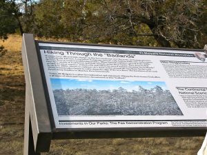
In El Malpais Region
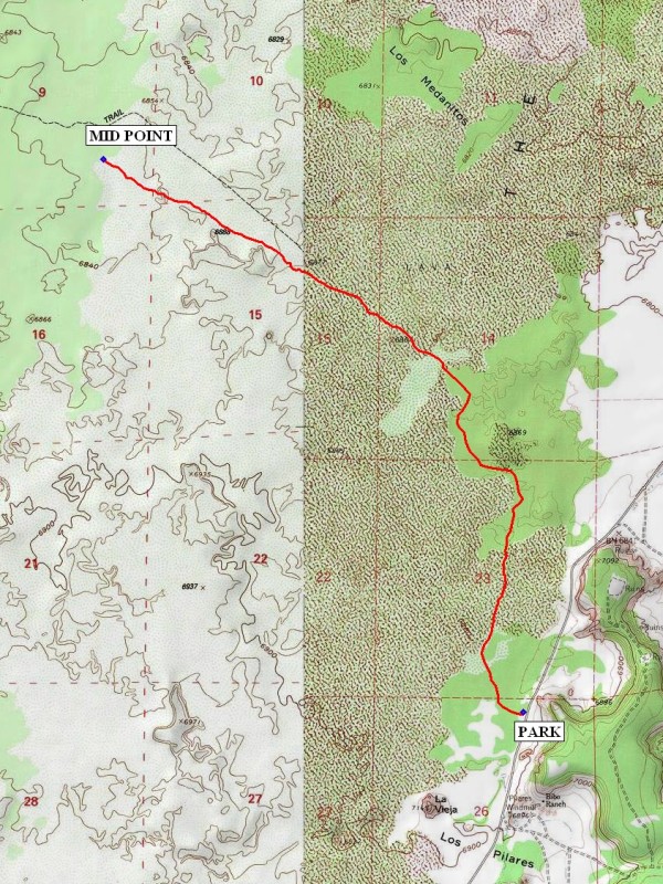
Map File Source: NG Topo
 Hike Key: H10142
Last Updated: 12/15/2020 12:00am
Last Updated By: Marilyn Warrant
Hike Class: C (Challenging)
Hike Distance: 7.3 mi
Minimum Elevation: 6835 ft
Elevation Change: 40 ft
Total Uphill: 45 ft
Total Downhill: 45 ft
Avg. Grade: 1 %
Route Type: InOut
On Trail: No
Paved or Gravel Roads: Yes
GPS Advised: Yes
Drive Distance Round Trip: 160 mi
Drive Time One-Way: 1:30
Hiking Seasons: Spring, Fall, and Winter
New Mexico Game Unit: 13
Hike Status: Published
Access Description: El Malpais North Access
Highlights
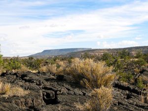
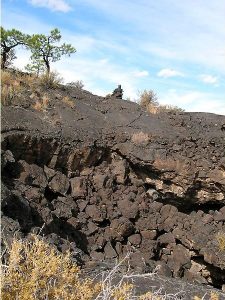
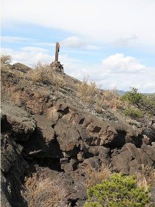
Part of an ancient route that connects the pueblos of Acoma and Zuni across the lava flow area of El Malpais National Monument.
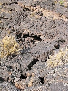
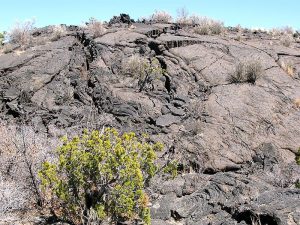
CautionsDifficult walking on lava rock; trekking poles, leather gloves, long pants, and sturdy boots extremely helpful.
Trailhead Directions
I-40 west to exit 89 at Grants. Go south on SR 117 about 19 miles (between mileposts 40 and 41) to PARK at the Acoma-Zuni East trailhead. You may want to take a 15-minute visit to the beautiful La Ventana Arch, a couple of miles further down the road (south). There is also a Ranger Station Visitor Center with toilets near milepost 48. The Sandstone Bluffs Overlook is a mile south of the Ranger Station.
Actual Hike
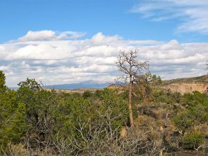
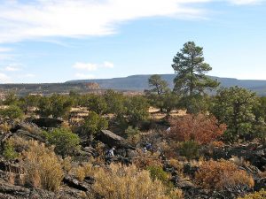
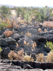
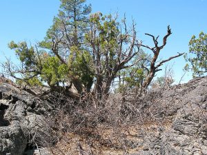
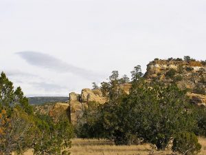
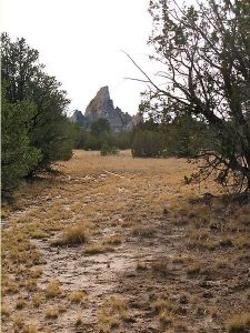
The trail is dangerous if you do not watch for the next stone pile (cairn) before proceeding because there is really no trail and it would be easy to become hopelessly lost. The last part of the trail we hiked is called “Escalante Trail”. Some of it is without lava rock and you walk on dirt. Near the trailhead is a striking lone peak nearby called “La Vieja” (The Old Woman). There is not a house anywhere in sight, but while out on the trail, look back at the skyline above the bluffs to the east. Try to pick out the house with low-pitched roof and a tall antenna. Hike to the MID POINT (3.6 mi), then return.
Comments
The lava rock is sharp if you fall. Wearing gloves is a good idea. Aside from those precautions, this is a wonderful place with many surprising rock forms and chasms that you either hop across or cross on a “bridge” made of stones thrown down in there until they piled up to the surface. Not many years ago this area was all black but in recent years it has gotten greener, at least as seen from above, at a distance.
WaypointsPARK: N34 53.938, W107 51.546
MID POINT: N34 56.001, W107 53.446
Hike GPS File Name: Acoma-ZuniEastWayTrack_JBJB.gpx
Hike GPS File: Click link to download hike waytrack file
Text Author: Roger Holloway
Map Author: Marilyn Warrant
Waypoints Author: John Boyd
Track Author: John Boyd
Maintainer: Dawn McIntyre
Editor: Marilyn Warrant