Nogales Ruins – Rattlesnake Ridge Ruins Hike
In Rio Chama Region
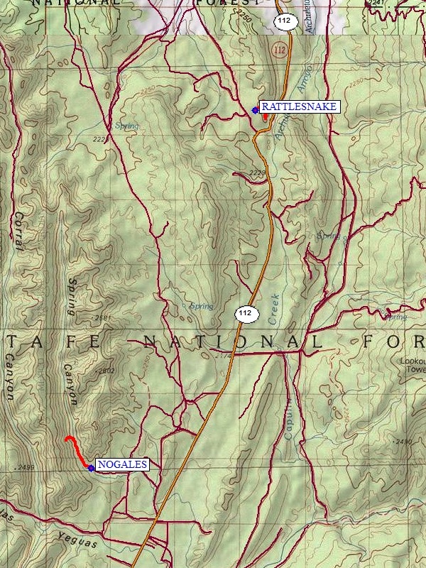
Map File Source: NG Topo
 Hike Key: H10573
Last Updated: 03/19/2021 12:00am
Last Updated By: Marilyn Fixer
Hike Class: B (Moderate)
Hike Distance: 2.9 mi
Minimum Elevation: 7250 ft
Elevation Change: 323 ft
Total Uphill: 440 ft
Total Downhill: 440 ft
Avg. Grade: 9 %
Route Type: Multiple Hikes
On Trail: Yes
Paved or Gravel Roads: No
GPS Advised: Yes
Drive Distance Round Trip: 278 mi
Drive Time One-Way: 3:00
Hiking Seasons: Spring, Summer, and Fall
New Mexico Game Unit: 5B
Hike Status: Published
Highlights
For Nogales; Mysterious ruins of the Gallina people.For Rattlesnake; This is easy hike on a gravel trail to one of the Gallina Indian ruins. Little is known about the Gallina Indians who don’t seem to have any living relatives and met a violent death.
CautionsFor Nogales; The ascent to the ruins is tough but not dangerous and requires good boots, hiking poles, and attention to the trail.For Rattlesnake; Some very steep sections.
Trailhead DirectionsSee the individual hike descriptions.
Actual HikeThis is a Multiple Hike. See the hike description for Nogales Ruins and for Rattlesnake Ridge Ruins.
Map Filename: NogalesRuins-RattlesnakeRidgeRuinsImage_MW.JPGText Author: Dick Brown
Map Author: Marilyn Warrant
Waypoints Author:
Track Author:
Maintainer: Frank Ernst
Editor: Howard Carr