Sandia Crest Trail North Hike
In Sandia Mountain East Region
Map File Source: DeLorme
 Hike Key: H10183
Last Updated: 03/20/2023 2:38pm
Last Updated By: Marilyn Fixer
Hike Class: C (Challenging)
Hike Distance: 6.1 mi
Minimum Elevation: 9640 ft
Elevation Change: 1010 ft
Total Uphill: 1010 ft
Total Downhill: 1010 ft
Avg. Grade: 8 %
Route Type: InOut
Protected: No
On Trail: Yes
Paved or Gravel Roads: Yes
GPS Advised: No
Hiker Limit (NF/BLM/NP): 15 (Sandia Wilderness)
Drive Distance Round Trip: 70 mi
Drive Time One-Way: 1:15
Hiking Seasons: Spring, Summer, and Fall
New Mexico Game Unit: 8
Hike Status: Published
Highlights
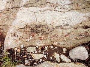
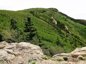
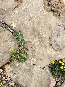
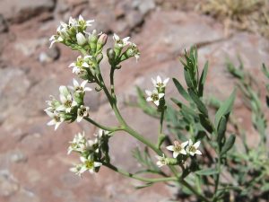
Numerous openings providing views to the west. Beautiful colors of aspens in the spring and fall. Wildflowers.
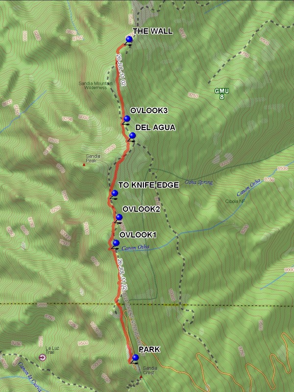
Trailhead DirectionsI-40 east to Tijeras exit. North on NM 14, west on Crest Road 536 all the way to the lower Crest parking lot and PARK (0.0 mi). Pay fee there or put a Golden Age Passport on the dash. There are toilet facilities at the Crest.
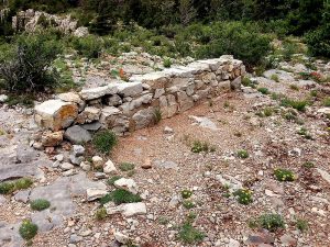
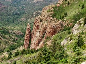
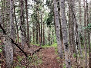
Actual HikeHike north from the parking lot along the North Crest Trail. There are a number of convenient places to look out west over Albuquerque to White Mesa and beyond (see OVLOOK1 (1.1 mi) and OVLOOK2 (1.3 mi)). Go by the trail to the west that goes out to the Knife Edge of the Shield (TO KNIFE EDGE (1.6 mi)), then to the DEL AGUA Overlook (2.1 mi)) and another unnamed one at OVLOOK3 (2.3 mi). Most of the hike so far has been in the trees. From this point, though, you’ll get into brushy, more open country. At about 3 mi, start looking for a place to have lunch, such as one more overlook where you can sit on THE WALL (3.1 mi), on nearby rocks, or under trees. The return hike is mostly up hill.
CommentsSince we will be on the Sandia Crest Trail we will have outstanding views in all directions and usually many flowers.
WaypointsPARK: N35 12.636, W106 26.969
OVLOOK1: N35 13.482, W106 27.144
OVLOOK2: N35 13.673, W106 27.115
TO KNIFE EDGE: N35 13.851, W106 27.157
DEL AGUA: N35 14.276, W106 26.996
OVLOOK3: N35 14.402, W106 27.047
THE WALL: N35 14.989, W106 27.025
Hike GPS File Name: SandiaCrestTrailNorthAllWayTrack_MW.gpx
Hike GPS File: Click link to download hike waytrack file
Text Author: Marilyn Warrant
Map Author: Marilyn Warrant
Waypoints Author: Marilyn Warrant
Track Author: Marilyn Warrant
Maintainer: Not Assigned
Editor: Howard Carr