Bosque Open Space West Side Hike
In Albuquerque Region
Map File Source: DeLorme
 Hike Key: H10048
Last Updated: 12/15/2020 12:00am
Last Updated By: Marilyn Warrant
Hike Class: A (Easy)
Hike Distance: 4.5 mi
Minimum Elevation: 4980 ft
Elevation Change: 20 ft
Total Uphill: 45 ft
Total Downhill: 45 ft
Avg. Grade: 1 %
Route Type: Loop
On Trail: Yes
Paved or Gravel Roads: Yes
GPS Advised: No
Drive Distance Round Trip: 20 mi
Drive Time One-Way: 0:15
Hiking Seasons: Spring, Fall, and Winter
New Mexico Game Unit: 9
Hike Status: Published
Highlights
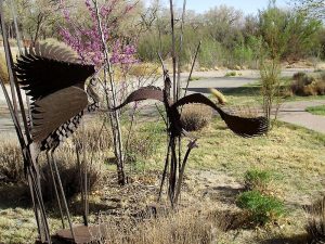
Walk along the Bosque near the Open Space Visitor’s Center.
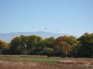
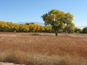
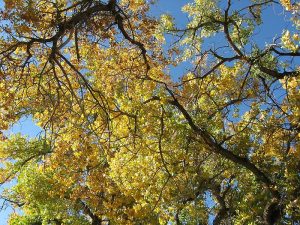
CautionsColorful foliage in fall. Sandhill cranes in winter.
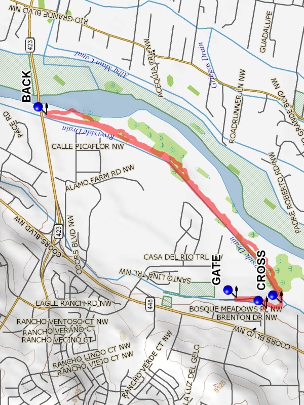
Trailhead DirectionsIn Albuquerque go west on Montano across the Rio Grande to Coors. Go north on Coors for 0.8 miles to La Orilla Rd and turn east, going to the end of La Orilla. Turn north into the parking lot and go to the north end of the lot and PARK (0.0 mi).
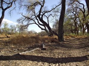
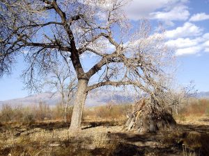
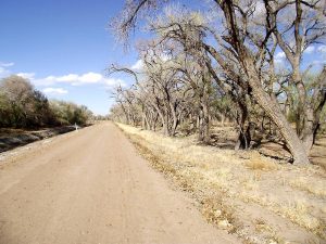
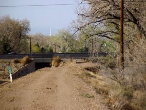
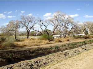
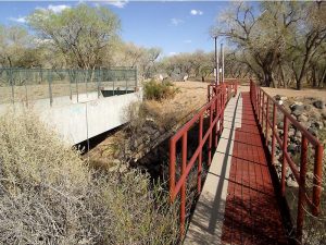
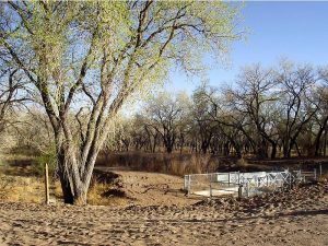
Actual HikeFrom parking go east to the east side of the drain and turn south, curving around to CROSS (0.1 mi) over to the east side of the main irrigation ditch. Walk north along the irrigation ditch until the Paseo Del Norte bridge is reached. Turn BACK (2.0 mi), going into the Bosque and follow the main path back south. There will be occasional side trails to the east that can be taken to the Rio Grande for lunch. Return to the main trail, as there is no substantial trail southward along the river bank. Cross back over to the entry drain and go north along the drain to the GATE (4.3 mi). Pass through the gate and visit the Open Space Visitor center. If the gate is locked go north to the road and around the fence. The center contains several rooms of art and exhibits, as well as viewing areas. In the winter months, Sandhill Cranes may be seen just outside in the feeding field. Then return to parking.
CommentsThe City of Albuquerque Open Space Visitor’s Center is open Tuesday thru Saturday 9 AM to 5 PM. When the center is open, go north from Montano on Coors for 1.4 miles to a road sign “Open Space Visitor Center”. Take the road just beyond the sign to the east and park in the Open Space Visitor’s Center parking lot and start the hike at the GATE.
WaypointsPARK: N35 09.763, W106 40.486
CROSS: N35 09.688, W106 40.452
BACK: N35 10.888, W106 39.274
GATE: N35 09.917, W106 40.421
Hike GPS File Name: BosqueOpenSpaceWestSideWayTrack_DBDB.gpx
Hike GPS File: Click link to download hike waytrack file
Text Author: Dick Brown
Map Author: Marilyn Warrant
Waypoints Author: Dick Brown
Track Author: Dick Brown
Maintainer: Dawn McIntyre
Editor: Marilyn Warrant